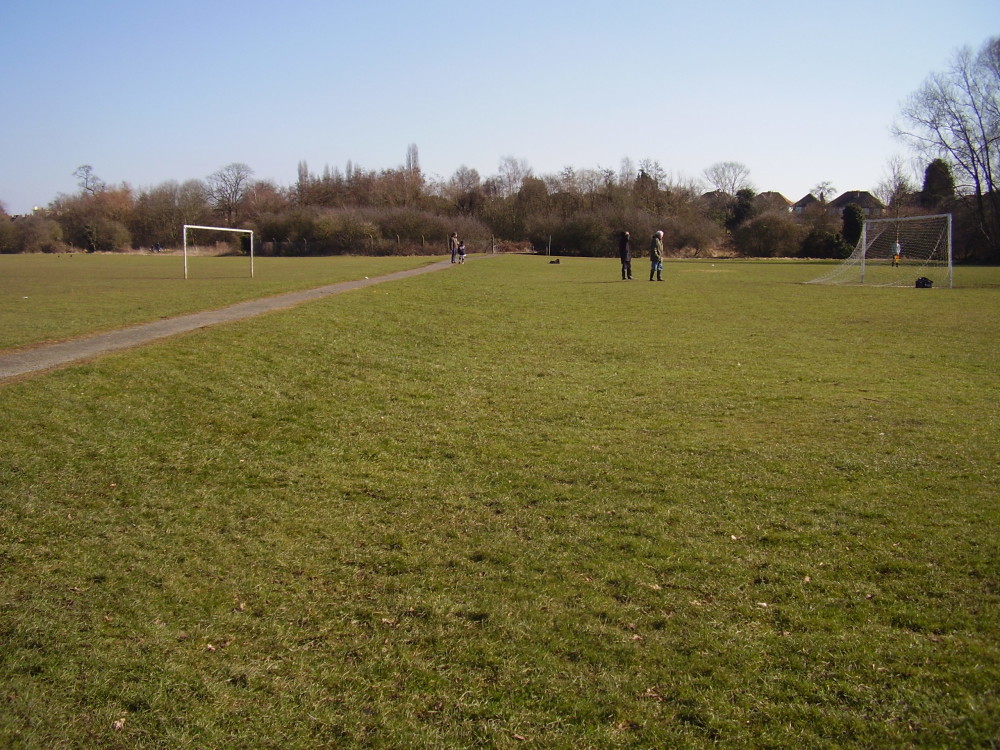
Sheldon Park dog walk, West Midlands
Description
Quaint country park with a working show farm, and 300 acres of old countryside. It's hard to believe that the end of the runway at B'ham airport forms the edge of the park - until a plane takes off. Noise sensitive dogs won't enjoy this.
Details
GPS coords for car park: 52.4594, -1.7765 What3Words: ///scan.squad.relay Lots going on, and entrance and parking is all free. The farm is open every day, with all the traditional farmyard favourites - cows, pigs, goats, ponies, geese, ducks and chickens.
Walk
There are trails of varying lengths inside the park.
From the car park, with the church behind and to the left, follow the footpath so that the farm buildings are on the right and then the paddock and football pitch are on the left.
See a small bridge just ahead and to the right, but keep left before this bridge to follow the path skirting round the edge of the parkland and with the trees, picnic tables and brook on the right.
The ancient beech hedge, built on the site of an old moat, is between 400 and 550 years old.
Continue walking until you come to a concrete and metal bridge on the right. Turn right to cross the bridge over the brook and then bear left with the brook on the left.
Continue until you come to another bridge. Cross over, so the brook is now on the right. Follow the pathway across the parkland.
Reach a tarmac path with street lamps, which crosses the field from Mapledene Road on right. Follow the path as it runs towards the houses at Elmstead Avenue ahead. On the left, see a signpost marked for Garretts Green and Marston Green Station pointing to the right – follow this direction and the shared cyclist / pedestrian path.
After a short distance, you will see Birmingham International Airport runway on your right.
Continue until you reach a fork in the path – to the left you will see the high arched bridge of the railway line. Keep right.
Keeping right, follow the path, then cross over a large bridge and continue upwards towards the station. Go up towards the station and turn around and return by the same route over the bridge.
Follow the route back along the airport boundary now very close on the left.See the evidence here of the medieval ridge and furrow farming system.
Take any of the paths back straight ahead, until you see St Giles Church in the distance. Hatchford Brook Golf Course is to the left.
Head for the church and walk back through the playing fields until you reach the car park.
Member Reviews
Be the first to add a review
You can earn 5 points for adding a review to this listing!
Add a reviewEdited: 21st March 2025. The details of this listing may have changed, and though the Driving with Dogs team do our best to confirm the accuracy of every listing, we cannot guarantee that the details are fully up to date and accurate. If you know that any aspect of this listing is incorrect, please suggest an edit to let us know.


